

Zoom Earth - Weather Forecast

Zoom Earth - Weather Forecast App Info
-
App Name
Zoom Earth - Weather Forecast
-
Package Name
com.neave.zoomearth
-
Developer
Neave Interactive -
Category
Weather -
Updated
2026/04/22
-
Version
6.1
Zoom Earth - Live Weather Map App Review
Zoom Earth - Live Weather Map is designed for users who want to see weather patterns develop rather than simply check a daily forecast. Its map-based interface brings weather conditions, rain, wind, temperature, pressure, satellite imagery, storms, hurricanes, and wildfire activity together in one place.
The result is a more visual way to understand what is happening around a location. Instead of checking several forecast screens, users can move across the map, change weather layers, and compare conditions between different areas.
Why Zoom Earth Stands Out
🗺️ More than a standard weather forecast
Zoom Earth is best suited to weather situations that require context.
A normal forecast may tell you that rain is expected, but the interactive map can help you see where precipitation is located and how weather conditions are developing around it. This makes the app particularly useful when weather is changing quickly or when you need to compare several locations.
🛰️ Near-real-time satellite imagery
Satellite imagery is one of the app's most distinctive features. Zoom Earth provides near-real-time imagery from geostationary satellites, while high-definition imagery from NASA's Aqua and Terra satellites is updated on a different schedule.
This is useful for observing cloud systems, major storms, and smoke from wildfires. Users should still remember that satellite imagery is not completely delay-free live video.
Where Zoom Earth Is Most Useful
✈️ Travel and road-trip planning
For travel, temperature alone rarely tells the whole story. Zoom Earth can help users check rain, wind, temperature, and satellite conditions across a destination or route before leaving.
This is especially helpful for road trips and outdoor sightseeing, where weather can change considerably between locations.
🏕️ Outdoor activities
Hiking, camping, cycling, boating, and photography can all be affected by short-term weather changes.
Checking rainfall and wind conditions shortly before an activity can provide more useful context than relying only on a morning forecast. The map view also makes it easier to see whether a weather system is approaching or moving away.
🌀 Hurricanes, storms, and wildfires
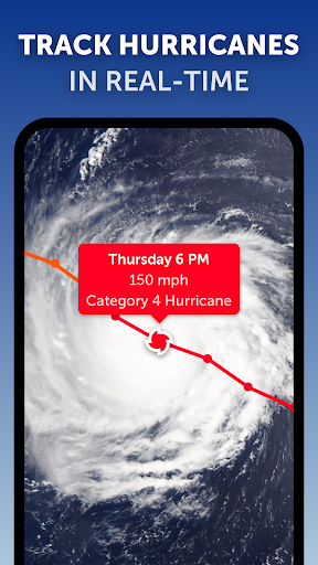
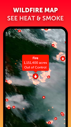
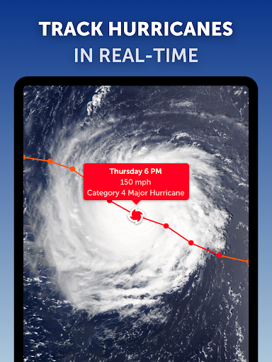
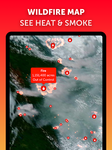
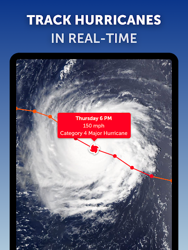
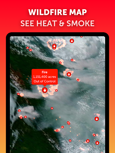
Zoom Earth has a stronger severe-weather focus than many everyday weather apps. Users can monitor hurricanes, cyclones, storms, wildfires, and smoke while viewing related satellite and weather information.
For people living in areas regularly affected by extreme weather, this makes the app useful as a visual monitoring tool alongside official alerts.
Key Features Worth Using
🌧️ Rain radar and short-term changes
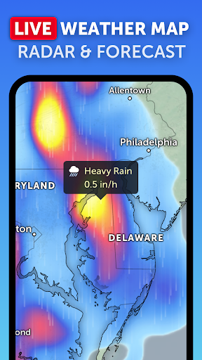
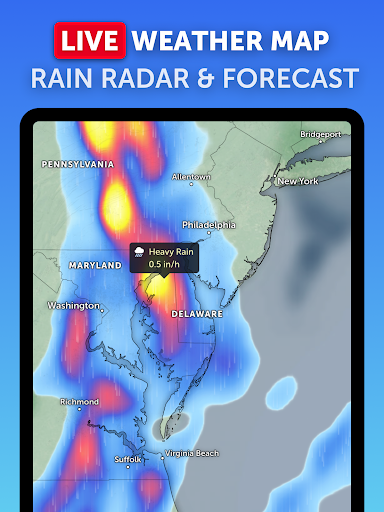
Rain radar is particularly valuable when you need to make a decision in the next few hours rather than plan several days ahead.
You can use it to check whether precipitation is approaching a location, moving across an area, or likely to affect an outdoor plan.
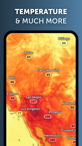
💨 Wind, temperature, and pressure maps
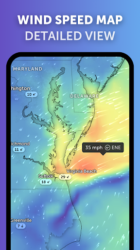
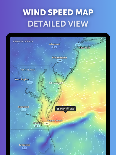
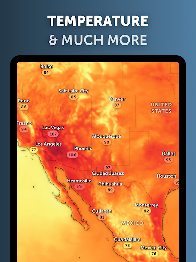
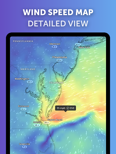
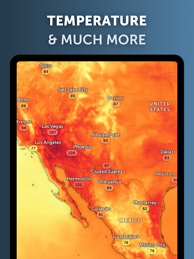
Zoom Earth also provides forecast maps for wind, temperature, and pressure, allowing users to look beyond a single weather reading and understand broader conditions.
For outdoor activities, wind and rainfall may be more useful than temperature alone.
Pros and Limitations
👍 Pros
Zoom Earth's biggest strength is visual weather context. It combines several types of information in an interactive map instead of presenting everything as isolated forecast cards.
It is especially valuable for users who regularly follow changing weather, travel across different regions, or monitor severe weather events.
⚠️ Limitations
The detailed map and multiple layers can feel more advanced than necessary for someone who only wants a quick daily forecast.
Some features are also part of Zoom Earth Pro, so users who want the full experience may need a subscription. Weather and environmental data can also be delayed or differ from actual conditions, so the app should not replace official emergency information.
Editor's Verdict
Zoom Earth - Live Weather Map is not simply a weather forecast app. Its real strength lies in helping users see weather as a changing system.
For everyday temperature checks, a simpler weather app may be enough. But for travel planning, outdoor activities, storm watching, hurricane tracking, or wildfire monitoring, Zoom Earth offers a much richer visual perspective.
Its best use case is simple: when you need to know not only what the weather is, but also where it is moving and how it is changing.
Zoom Earth - Weather Forecast
Version 6.1 Updated 2026/04/22


